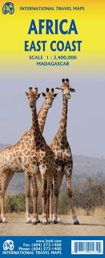
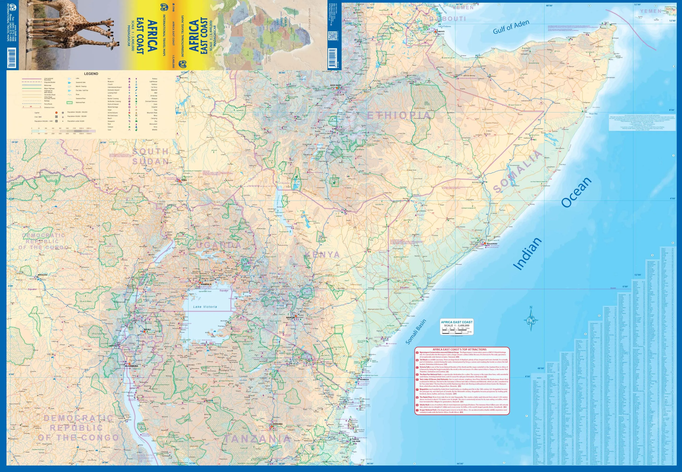
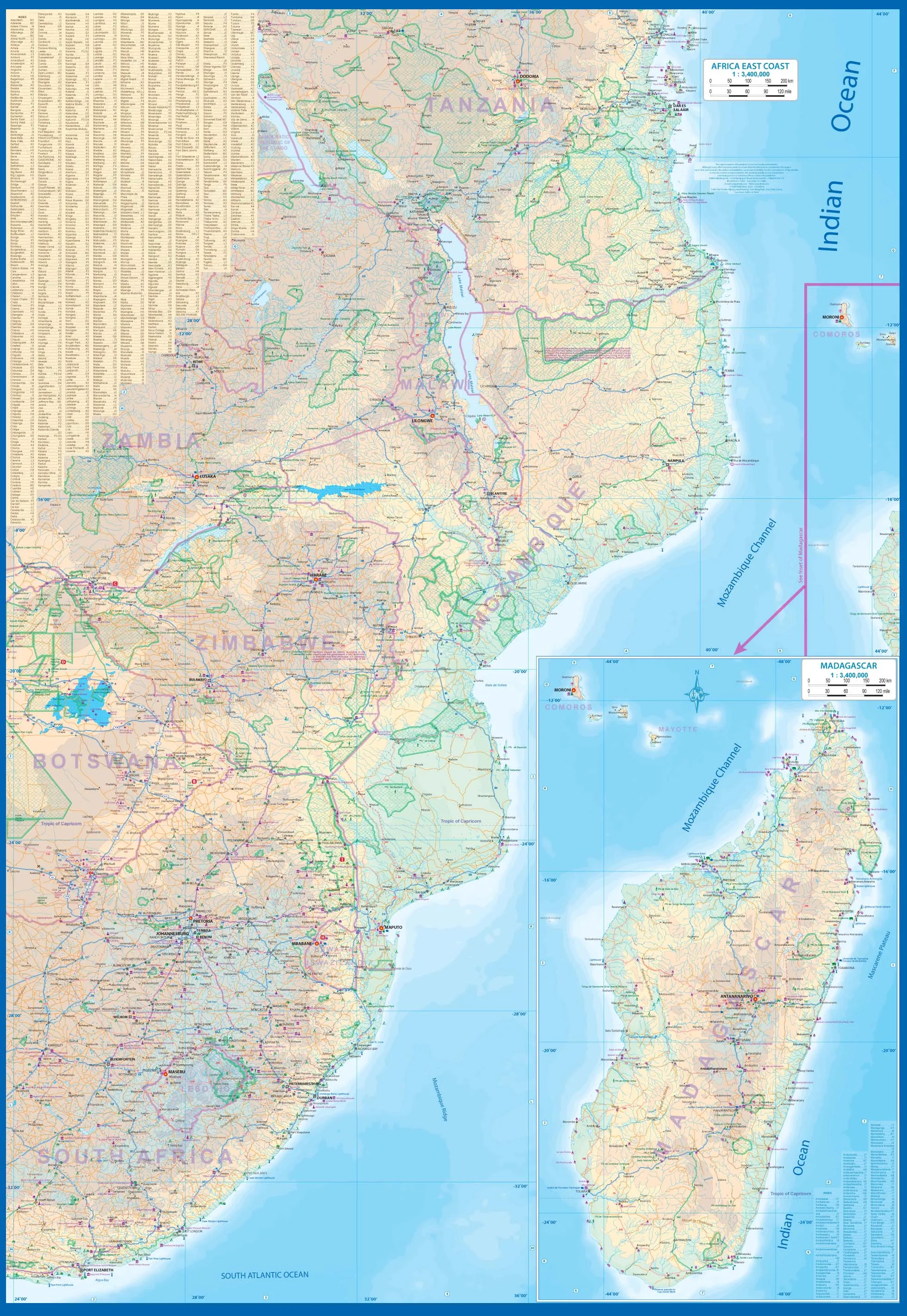
This double-sided map encompasses a vast region, including all of Djibouti, Somalia, Kenya, Uganda, Tanzania, Rwanda, Burundi, Mozambique, Malawi, Zimbabwe, Lesotho, and Swaziland (which now prefers to be called Eswatini), as well as an inset map of Madagascar. Large portions of several other countries are included, such as South Africa and southern Ethiopia. This would be an excellent map for anyone travelling overland from Nairobi to the Cape. All road and rail routes are shown, as well as major touristic attractions, national parks and game preserves. A Top Attractions list is included, noting Ngorogoro, Kruger, Victoria Falls, and lesser-known attractions such as the Tuli Block and Sibebe Rock.
We can laminate this map, which will allow you to draw on it in whiteboard marker or apply to locations of interest without permanently marking the map. The lamination also makes the map very durable and protects against tears and stains.
To laminate this map we have taken the folded map and flattened it out before encapsulating it in high-quality 80-micron laminate, so please be aware that there will still be slight fold lines visible.
Scale 1:3,400,000
Size 1350 x 1000 (Two Sided)


